

Every design for Aura
Wear your town with pride
13 unique designs from the town of Aura in Varsinais-Suomi – map designs, local expressions and symbols only people who know the place will read. Also available as t-shirt, hoodie or tote bag.
T-shirt
from 249 SEK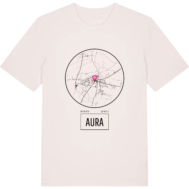




Hoodie
from 499 SEK


Tote bag
from 129 SEK




About Aura
Aura River
Plough-shaped map
Kurjenrahka National Park
In Aura the bell tower is older than the church: the tower dates from 1774, while the church beside it was finished in 1804 under Mikael Piimänen to drawings from Stockholm. Around them lies the old village of Prunkkala, the name the parish carried before Aura.
Ask people from Aura what they remember and many will mention the river first, winding through the middle of the municipality and splitting it in two: hilly moraine to the east, low clay fields to the west. Aura is one of the few Finnish municipalities without a single lake. Its modern story began with the railway station that opened in 1876, when a station community grew up quickly and was later joined with Prunkkala to form the municipality. Passenger trains no longer stop, but the main road between Turku and Tampere still runs through. To the north-west, the land narrows to a point at Kuhankuono, the old boundary stone, and reaches into Kurjenrahka National Park.
The detail that sums it up is the name itself: the Aura River, and an outline on the map that looks like a plough, aura in Finnish.
Shown on the map
Location: Varsinais-Suomi, Finland
Coordinates: 60.6500°N, 22.5866°E
