

Every design for Askim
Wear your town with pride
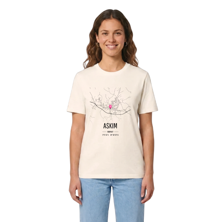
13 unique designs from the town of Askim – map designs, local expressions and symbols only people who know the place will read. Also available as t-shirt, hoodie or tote bag.
T-shirt
from 249 SEK





Hoodie
from 499 SEK


Tote bag
from 129 SEK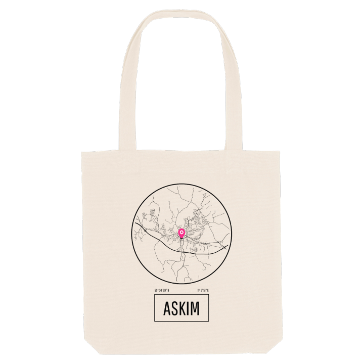


About Askim
River Glomma
Hydroelectric power
Battle of Langnes
Askim lies beside Glomma, Norway's longest river, which forms its border to the west and north. Before the name Askim took hold, the parish was called Eid, a word for land along a river that boats cannot pass, and people once hauled their boats overland here between the lake Øyeren and the river below the Vammafossen falls. The name Askim itself means the farm by the ash tree.
That position on the river has made Askim a strategic crossing in war after war. The last battle between Norway and Sweden was fought at the Glomma crossing at Langnes, where a stone monument and a yearly re-enactment keep the memory alive, and during the German invasion Norwegian troops held Fossum Bridge for a time. Today Askim is the largest town in Indre Østfold and a regional centre for the surrounding municipalities. Askim museum keeps its story. For most of the last century this was an industrial town, from the rubber boots and tyres of Viking Gummi to the glass wool of Glava, and Kråkåsen is never far away.
Look closely at the river on the map and you will find Solbergfoss, Kykkelsrud and Vamma: three waterfalls, three power stations, and the old turbine hall where the Kraftfestivalen opens every August.
Shown on the map
Location: Norway
Coordinates: 59.5832°N, 11.1642°E
