

Every design for Ås
Wear your town with pride
10 unique designs from the town of Ås – map designs, local expressions and symbols only people who know the place will read. Also available as t-shirt, hoodie or tote bag.
T-shirt
from 249 SEK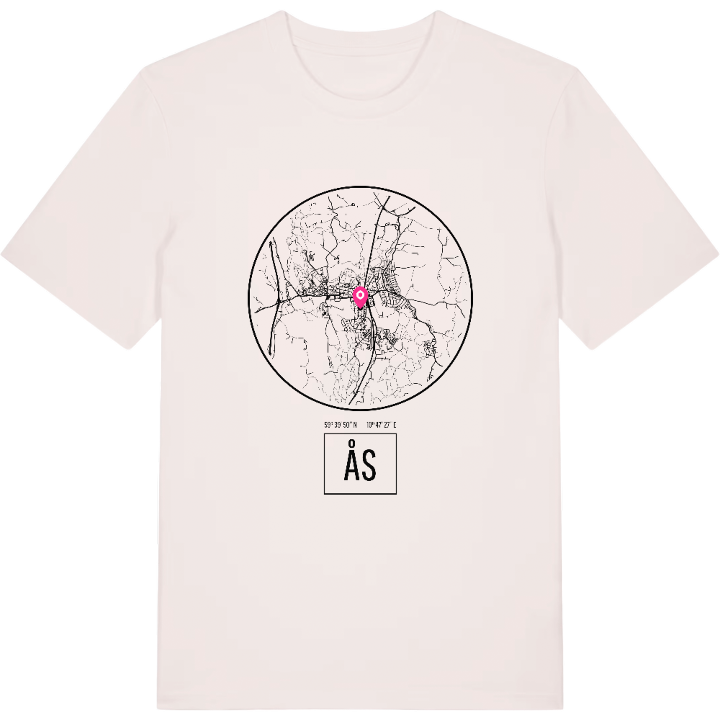


Hoodie
from 499 SEK


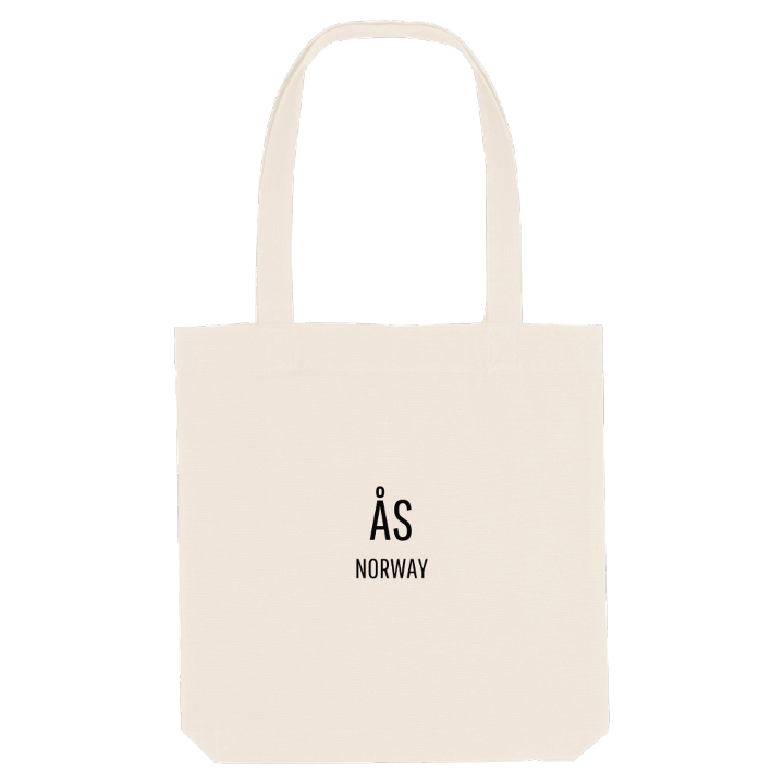
Tote bag
from 129 SEK





About Ås
University park
Farming country
Leonardo bridge
A short walk west of the centre, on the road towards Drøbak, the park of the Norwegian University of Life Sciences opens out: lawns, a rosarium and hundreds of labelled shrubs and trees, laid out to docent Olav L. Moen's plans as one of the largest neoclassical parks in Norway.
Many people remember Ås for exactly that sense of space. The village is the administrative centre of a municipality in the Follo region of Akershus, the largest farming municipality in the county, with fields of grain and vegetables, dairy farms and woods covering much of the rest. The name comes from the land itself: áss, an old word for a hill, ridge or esker. Over the E18 at Nygårdskrysset stands the Leonardo da Vinci bridge, Vebjørn Sand's full-size version of a design he first saw as drawings. Andedammen, Universitetstunet and Meierimuseet belong to the everyday map, and so do the old sunken roads at Hulveier.
If you studied, worked or grew up in Ås, you know how far those fields stretch towards the woods. This one is for you.
Shown on the map
Location: Norway
Coordinates: 59.6639°N, 10.7909°E
