

Every design for Arras
The big city that shaped you
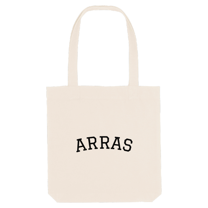
13 unique designs from the city of Arras in Hauts-De-France – map designs, local expressions and symbols only people who know the place will read. Also available as t-shirt, hoodie or tote bag.
T-shirt
from 249 SEK


Hoodie
from 499 SEK


Tote bag
from 129 SEK



About Arras
Baroque squares
the belfry
Vauban citadel
Can you picture the Beffroi from the Place des Héros without closing your eyes? Anyone who grew up in Arras can. That view is the town's front room: two Baroque squares, the Place des Héros and the Grand'Place, watched over by a belfry listed as a UNESCO World Heritage Site, an ensemble with no real equivalent anywhere in Europe.
Arras lies in the Artois, on a broad chalk plateau where the Scarpe and the Crinchon meet, close enough to Lille to feel its pull and far enough to keep its own character. It is the prefecture of the Pas-de-Calais and the department's second town after Calais. The chalk gave it a nickname, the white town, and a hidden second city: the boves, a maze of tunnels beneath the streets. Above ground there is the Citadelle d'Arras built by Vauban, the remains of Roman Nemetacum, and the Arras Memorial, where the First World War is never far away.
Growing up here means knowing those squares as ordinary ground, a place to cross on the way to school. A map of Arras holds all of that in a few streets.
Shown on the map
Location: Hauts-De-France, France
Coordinates: 50.2910°N, 2.7772°E
