

Every design for Ålgård
Wear your town with pride
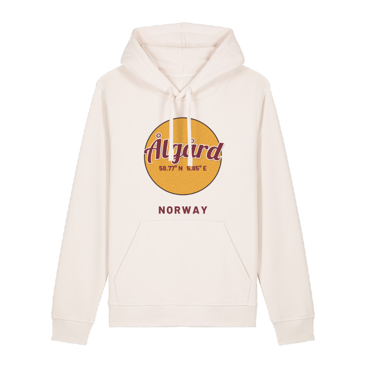
13 unique designs from the town of Ålgård – map designs, local expressions and symbols only people who know the place will read. Also available as t-shirt, hoodie or tote bag.
T-shirt
from 249 SEK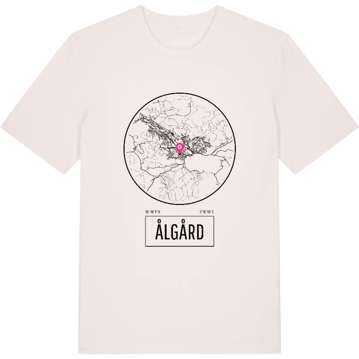


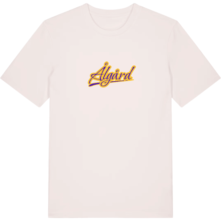


Hoodie
from 499 SEK

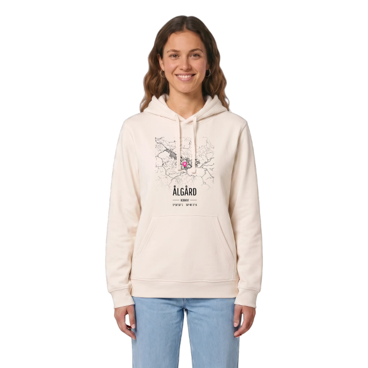




Tote bag
from 129 SEK


About Ålgård
Kongeparken
Old wool mill
Edlandsvatnet
Ålgård sits where the river Figgjo leaves the lake Edlandsvatnet, and the water has decided almost everything about the place. Its very name is linked to an eel fence – the barrier set across the river to catch eels – and for centuries it was little more than a few farms and a posting station on the inland road.
That changed when the road was pushed through and a wool mill arrived. Ole Nielsen moved his spinning works here from Sandnes to run newer machines on waterpower, with plenty of sheep farmers close at hand, and the village grew up around what became De Forenede Ullvarefabrikker. He also founded a factory school, and the mill helped pay for Ålgård's church. The factory has closed, but its buildings live on as a library, an arts school and the municipal offices. Ålgård lies on the E39 south-east of Sandnes in the Jæren district, the administrative centre of Gjesdal, and has grown together with Figgjo across the municipal border.
If you grew up here, you owe a few summer days to Kongeparken and a few winter walks to Berlandsnuten. This is your village, drawn line by line.
Shown on the map
Location: Norway
Coordinates: 58.7692°N, 5.8472°E
