

Every design for Aalsmeer
Wear your town with pride
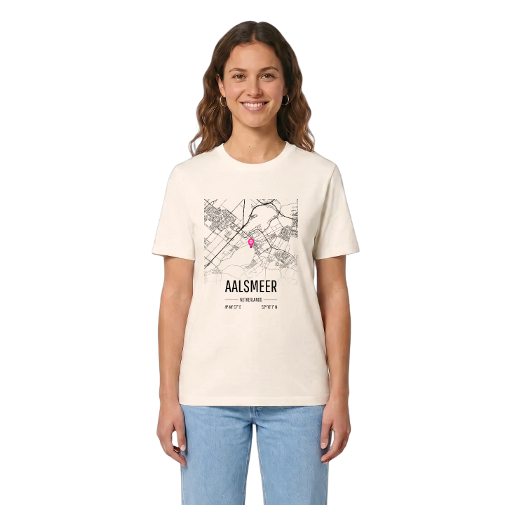
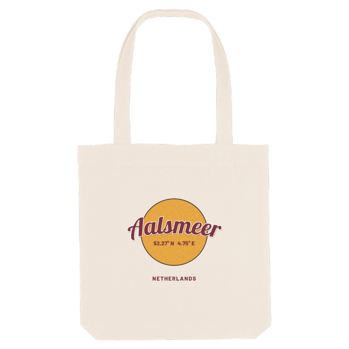
13 unique designs from the town of Aalsmeer in Noord-Holland – map designs, local expressions and symbols only people who know the place will read. Also available as t-shirt, hoodie or tote bag.
T-shirt
from 249 SEK



Hoodie
from 499 SEK


Tote bag
from 129 SEK


About Aalsmeer
Flower auction
Westeinderplassen
Strawberry history
Aalsmeer first appears in 1133, as 'Alsmar', in a document granting land to the Abbey of Rijnsburg, at a time when the area was a wilderness of alder and willow. Its name comes from the Dutch words for eel and lake, and water has shaped its history ever since. Centuries of peat digging turned land into lakes, the inhabitants switched to fishing, and the lakes were then pumped dry again, starting with the Stommeer in 1650. Strawberries followed, giving the town the red, green and black of its flag, and roses were being grown under glass by the end of the nineteenth century. When the trade moved from Amsterdam into Aalsmeer's own cafés, the flower auctions were born, and with them its reputation as the flower capital of the world.
The town lies on the edge of the former Haarlem Lake, between the Ringvaart Canal and the Westeinderplassen, the largest open water in the Randstad, 13 km south-west of Amsterdam. Its older part stands on peat, surrounded by polders below sea level. The Historische Tuin Aalsmeer and the Flower Art Museum keep the flower story close, and the Fort bij Aalsmeer stands on the town's edge.
If you grew up sailing on the Westeinder or cycling past the greenhouses, this map is the backdrop of your childhood.
Shown on the map
Location: Noord-Holland, Netherlands
Coordinates: 52.2669°N, 4.7493°E
